Scotts Bluff National Monument
When the weary travelers reached Scotts Bluff it signaled the end to their 600 mile trek across the plains. It also meant that 1/3 of their journey had been completed. Scotts Bluff gave them a sheltered place to camp, access to firewood, and most important, fresh spring water!
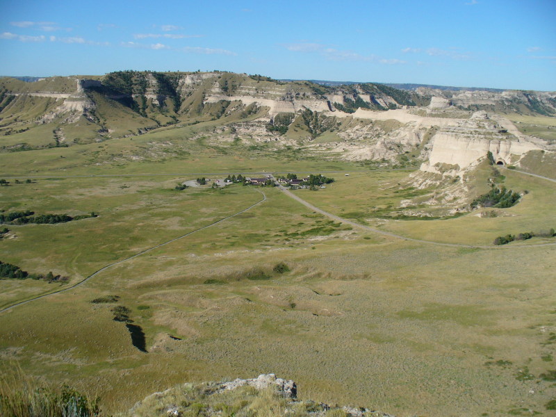
Here you can see the visitor center. If you click on it to see the full size version, you will see a road just beyond the visitor center that runs horizontally across the picture. This is the origional path that the wagon trains followed. Today it is part of the road through the park.
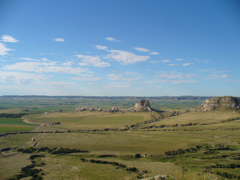
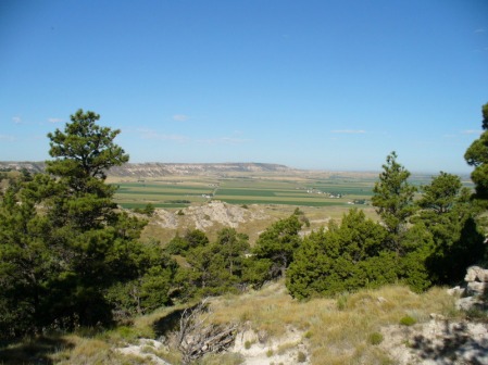
We drove to the top of the bluffs (it was way too hot for a long hike) and walked the short paths to the overlooks. The two pictures above were taken from the South overlook. The left picture shows the miles and miles of grassy plains extending eastward in the distance. To the travelers, this was known as "The Great American Desert." Today it is mostly farm land. The mountains in the far distance are the Wildcat Mountains.
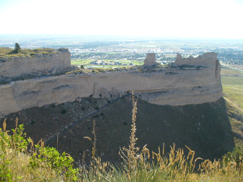
The North overlook had more shade than the south and we stopped to enjoy the shade and the view of the North Platte River Valley!
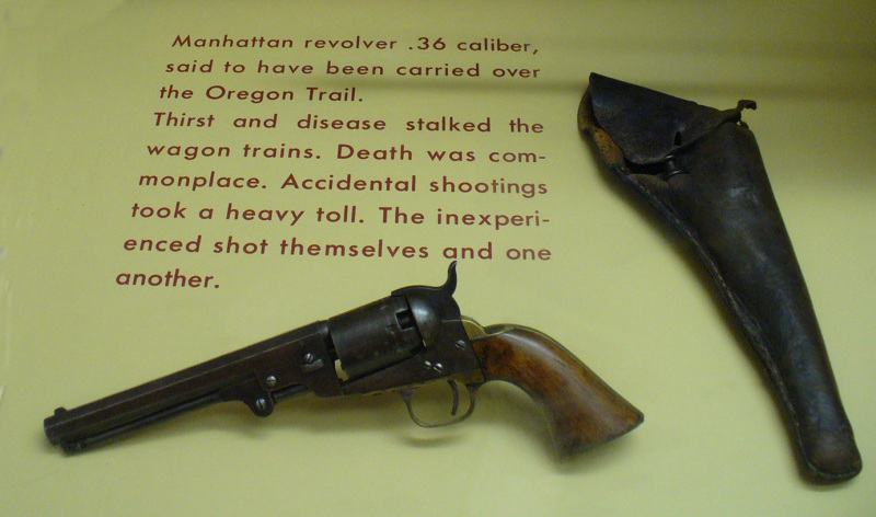
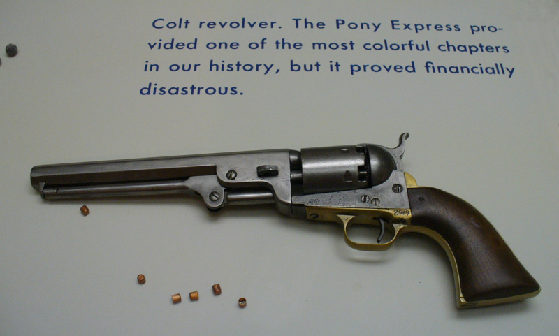
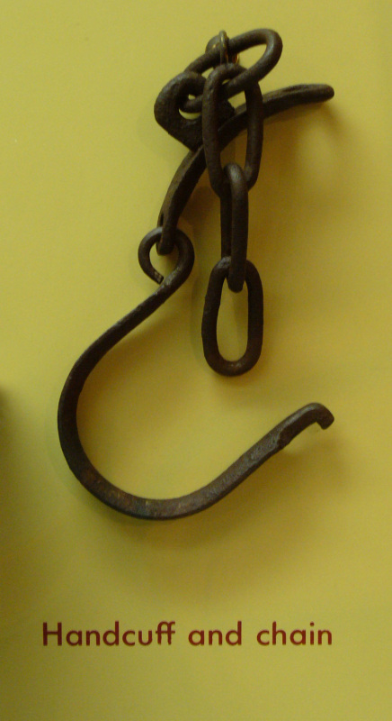
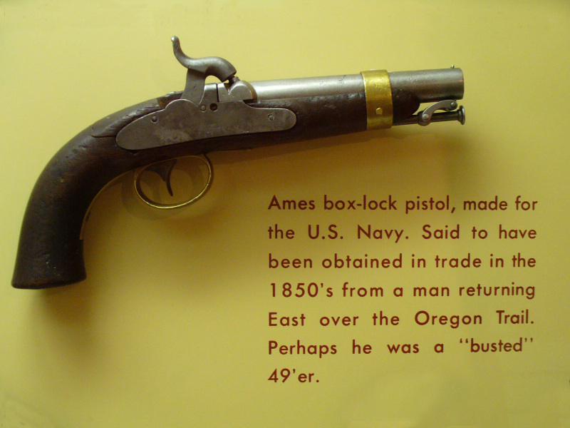
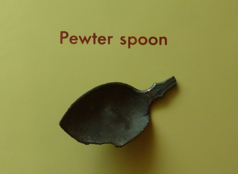
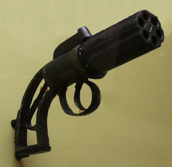
The visitor center has an interesting museum. Below are some of the artifacts that are on display from the Scotts Bluff area. (Click on the pictures to enlarge them.)

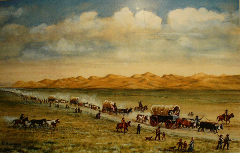
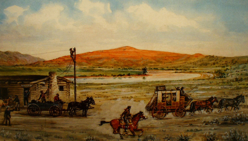
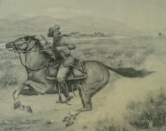
Part of the museum is dedicated to the work of artist and explorer, William Henry Jackson. He was the first person to photograph Yellowstone, and his paintings and works of photography helped create a picuture document of the American West.
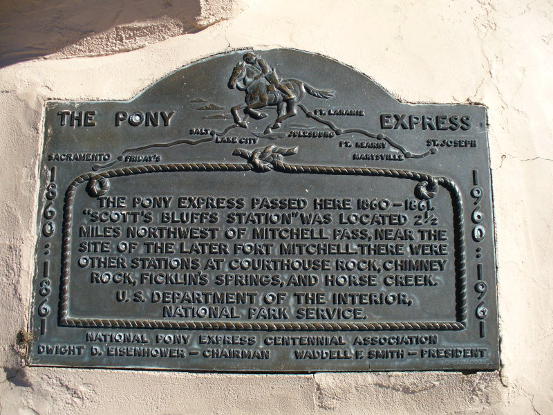
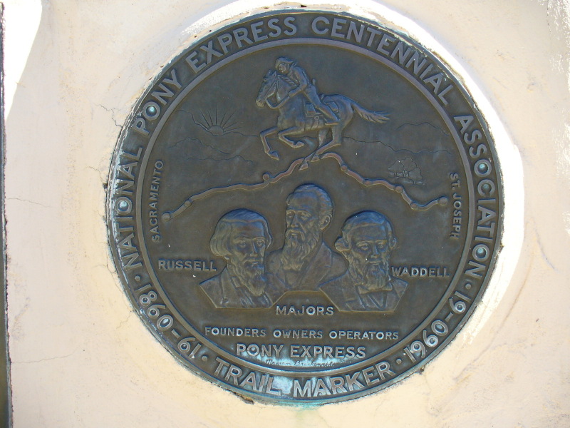
Scotts Bluff was also a Pony Express Station.
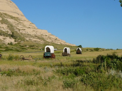
As we left Scotts Bluff, heading west along the same path the Oregon Trail followed, we saw this display of covered wagons going through Mitchell Pass with us!