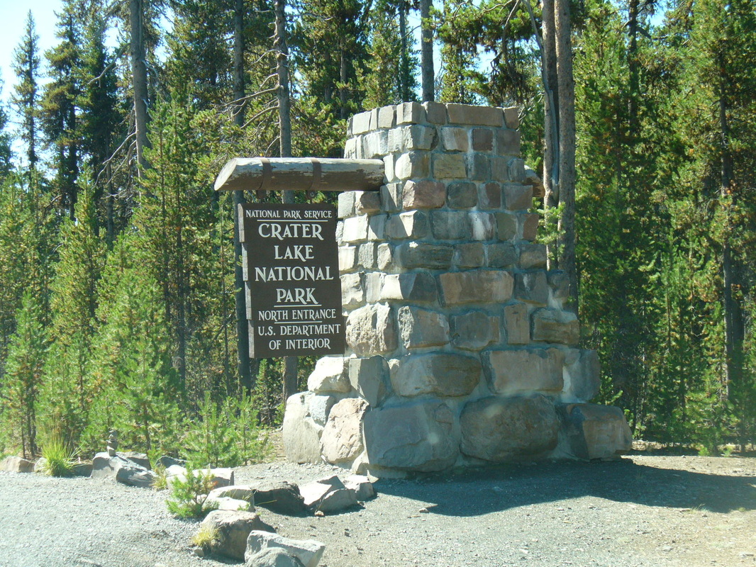
Crater Lake National Park
Crater Lake was actually once a volcano called Mount Mazama. It erupted 7,700 and then collapsed into itself. The resulting Five mile wide crater gradually filled with rain and melted snow to become Crater Lake.
The 183 thousand plus acres became a national park on May 22, 1902.
The 183 thousand plus acres became a national park on May 22, 1902.
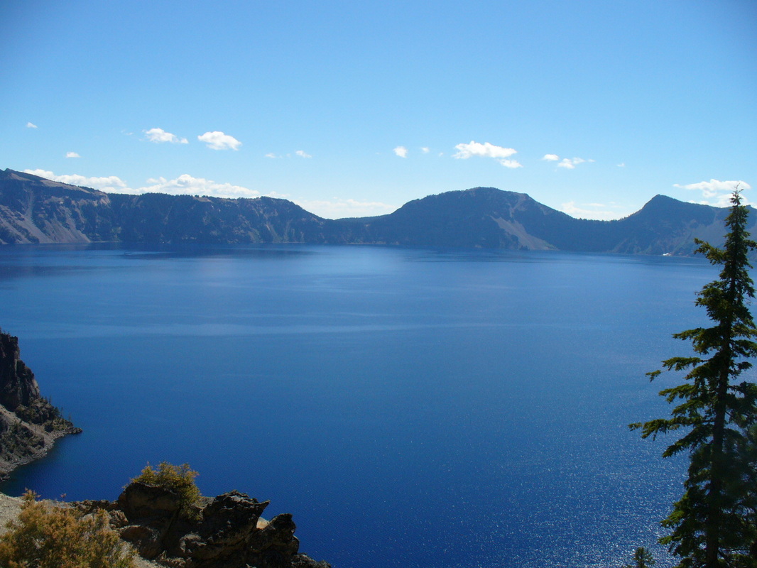
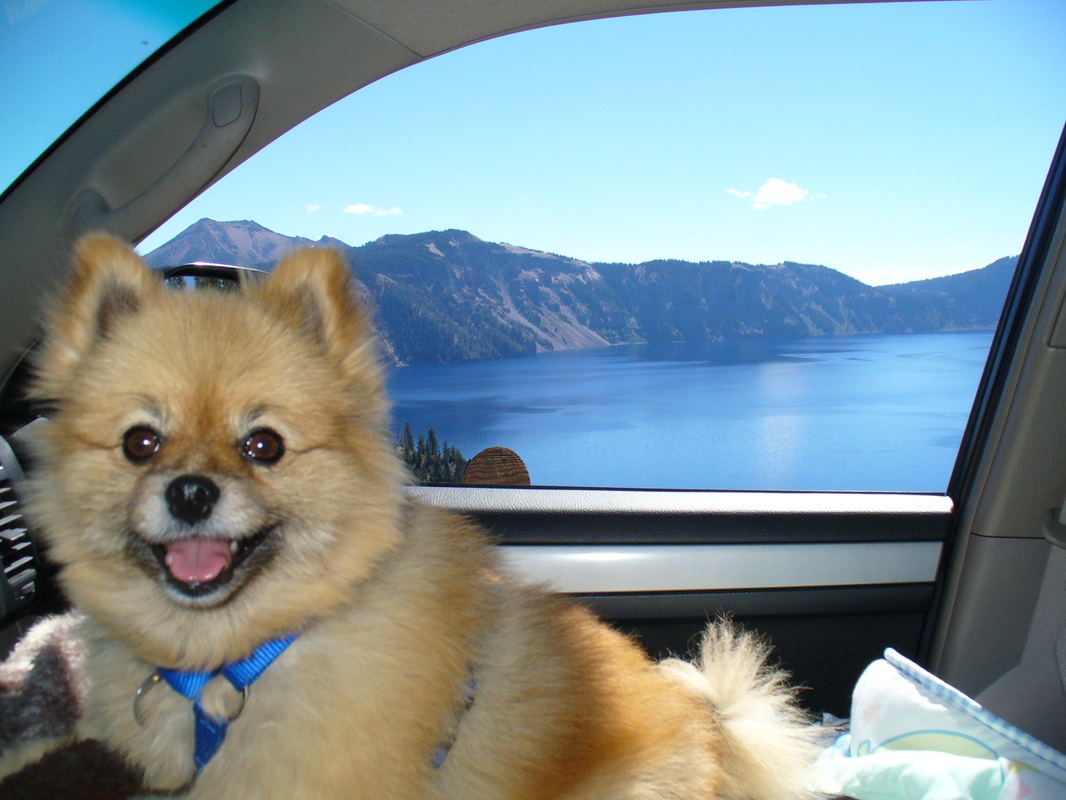
We got to visit Crater Lake twice. The first time it was snowing and cold, and we couldn't even see the lake! We went back a week later and had a beautiful day to drive around the rim and see the lake in all it's glory!
First visit. Snow!!
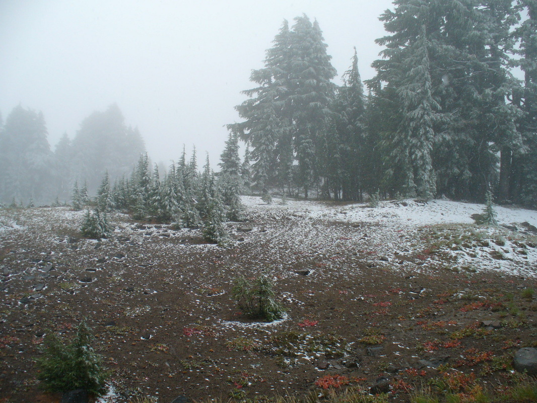
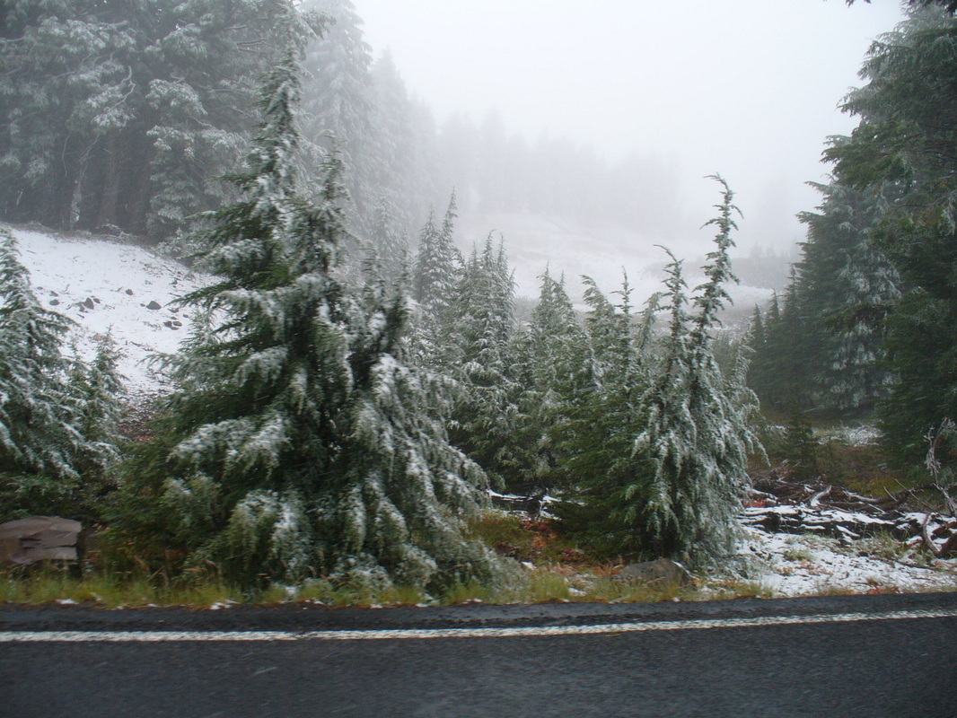
Crater Lake National Park receives an average of 44 feet of snow every year. We were lucky we only saw a "dusting"!
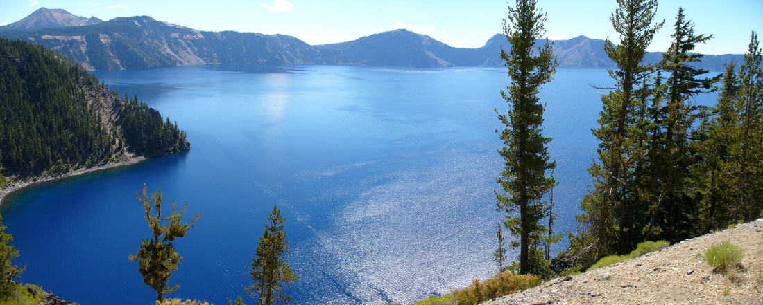
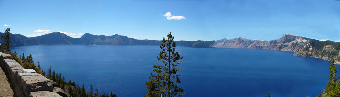
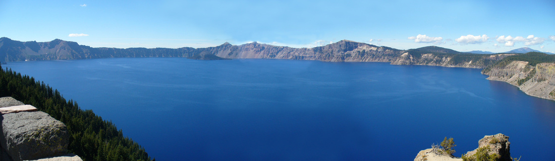
This is the view from the Grouse Hill Picnic Area a week later.
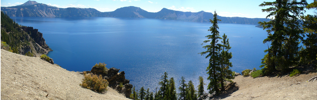
Mom used her photo editing program to "stitch" several pictures together for a panoramic view. (You'll see several of them on this page!)
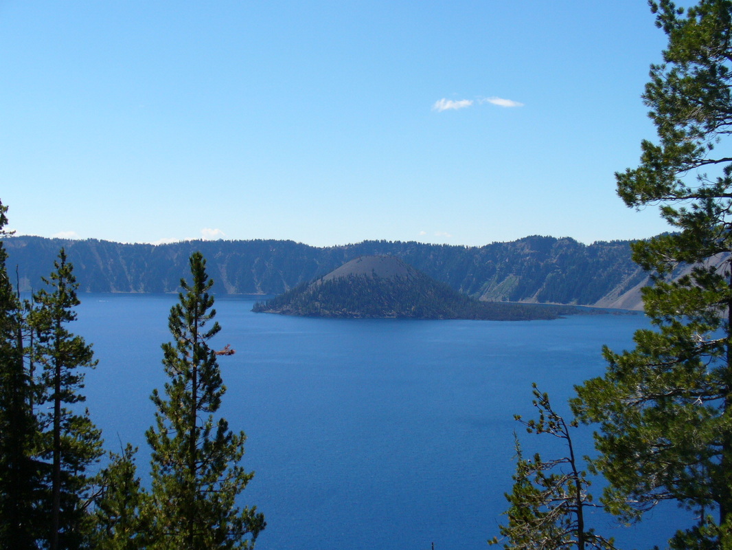
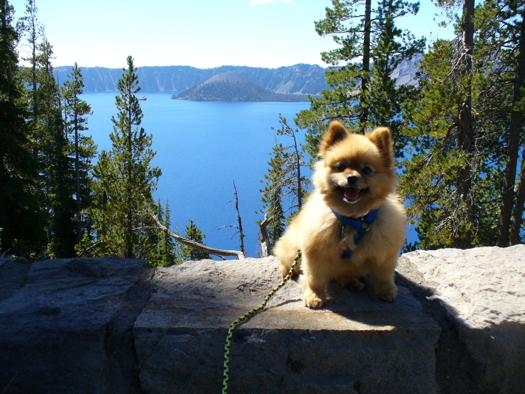
Wizard Island
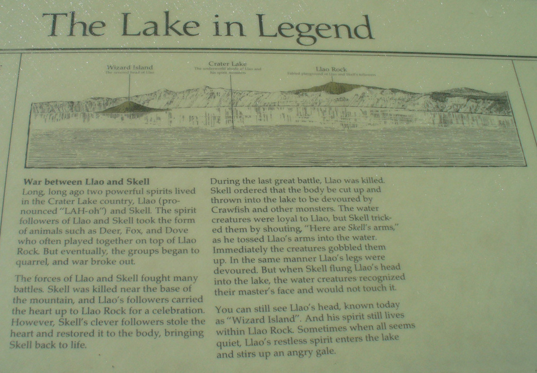
A bit of history and . . .
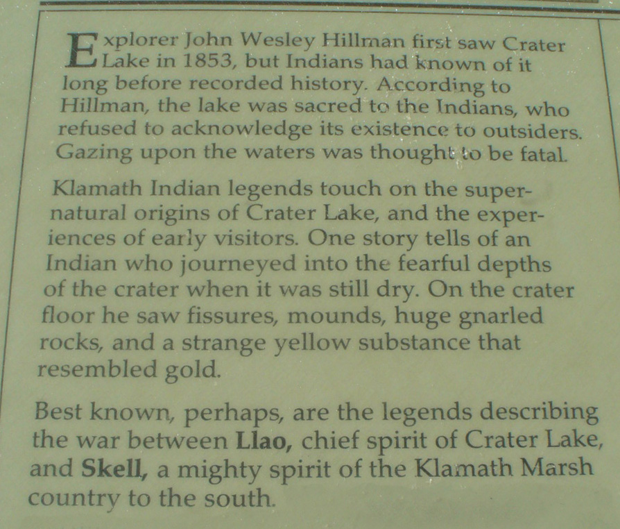
a bit of legend.

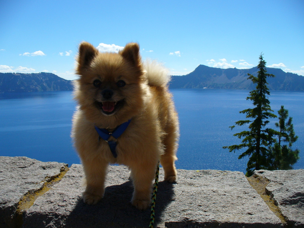
The drive around the rim is 33 miles and takes several hours if you take the turn-outs to view the lake, which we did. I had a very comfortable place to ride and was high enough in the seat to see out the windows!

Crater Lake has been investitgated a lot by scientists who have climbed its cliffs, nearly 2,000 feet above the waters surface, and even had a look at it's depths using a submarine!

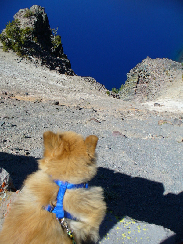
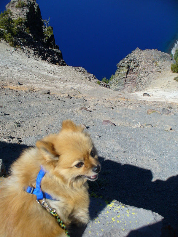
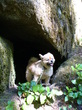
Hey mom! 2,000 feet is a long way down!
Make sure you've got a good hold on my leash, please!
Make sure you've got a good hold on my leash, please!
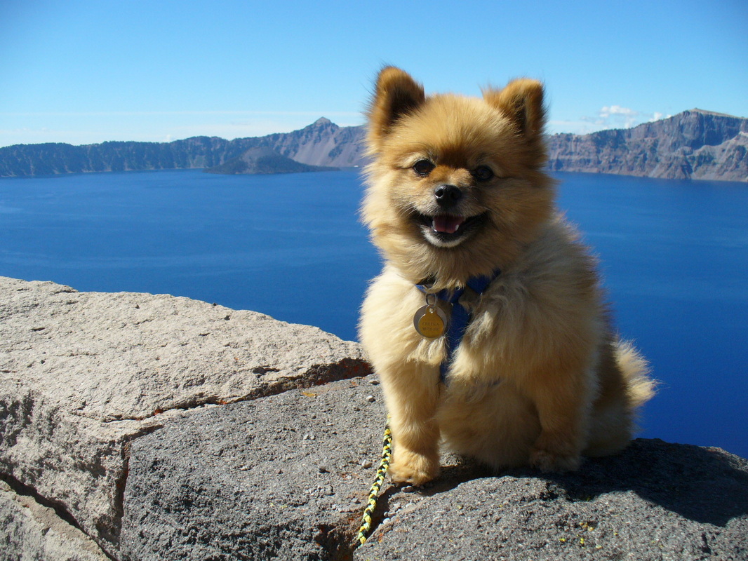
Crater Lakes depth is 1,943 at its deepest point which makes it the deepest lake in the United States. It is also the second deepest lake in the Western Hemisphere and the 7th deepest lake in the world!
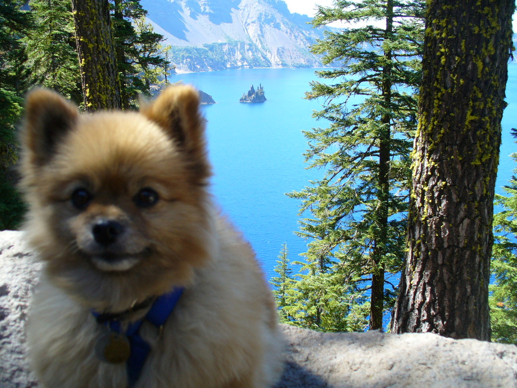
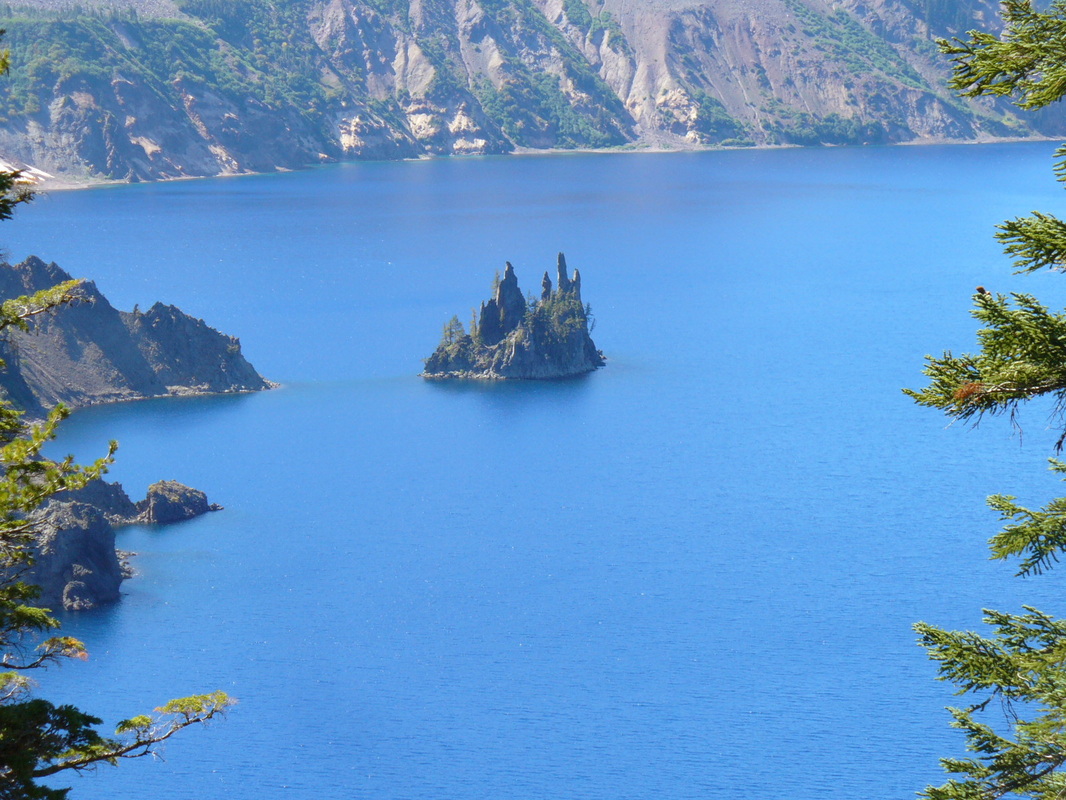
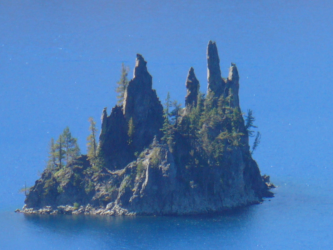
Phantom Ship (to the right of my ear) is a popular sight to see. They say the rock formation was so named because it tends to make people think of a tall- masted ghost-ship with droopy sails.
Actually the rock fromation is what's left of an ancient volcano called "The Phantom Cone." It existed before Mount Mazama and was covered over by the growth of the giant mountain. Phantom Cone remained covered over until the collapse of the exhausted volcano, Mount Mazama, which exposed it. Once Crater Lake filled with water, only the top of Phantom Cone is visable.
Actually the rock fromation is what's left of an ancient volcano called "The Phantom Cone." It existed before Mount Mazama and was covered over by the growth of the giant mountain. Phantom Cone remained covered over until the collapse of the exhausted volcano, Mount Mazama, which exposed it. Once Crater Lake filled with water, only the top of Phantom Cone is visable.
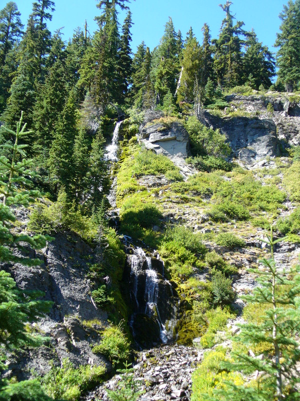
We saw one waterfall, Vidae Falls.
It is 500 feet high and right off the side of the road, easy to see!
It is 500 feet high and right off the side of the road, easy to see!
So now you know all I know about Crater Lake National Park.
I hope you enjoyed visiting it with me!
I hope you enjoyed visiting it with me!

Oregon Links


Photo courtsey of K. J.

Crater Lake National Park