Trail Tales
Week One
August 9th through the 15th, 2010
Monday, August 9, 2010
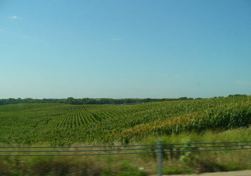
We departed Adiar, Oklahoma shortly after 7 a.m. and headed North to Kansas. Just after crossing the Kansas border, mom disregarded the GPS directions to the Little House On The Prairie site to follow her own route. About 20 miles later I heard her say . . . well, never mind what she said. Suffice it to say she had gone the wrong directions! Mom went back to using the GPS and promptly got us out in the boondocks on dirt roads trying to follow the GPS directions to get us back where we were suppose to be. It was funny, but mom didn’t think so at the time! The GPS took her down a dead end road and then told her to turn left where there wasn’t any road at all! Eventually, between the two of them, we found the Little House On The Prairie site and enjoyed looking around.
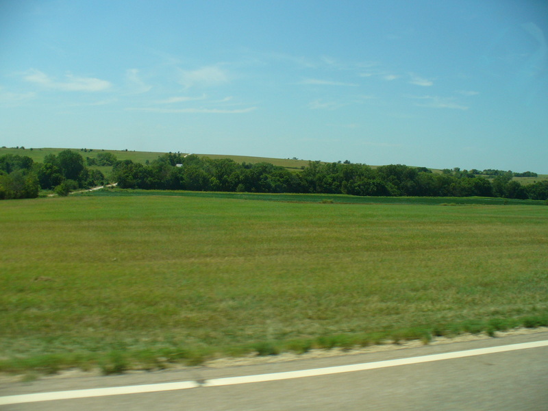
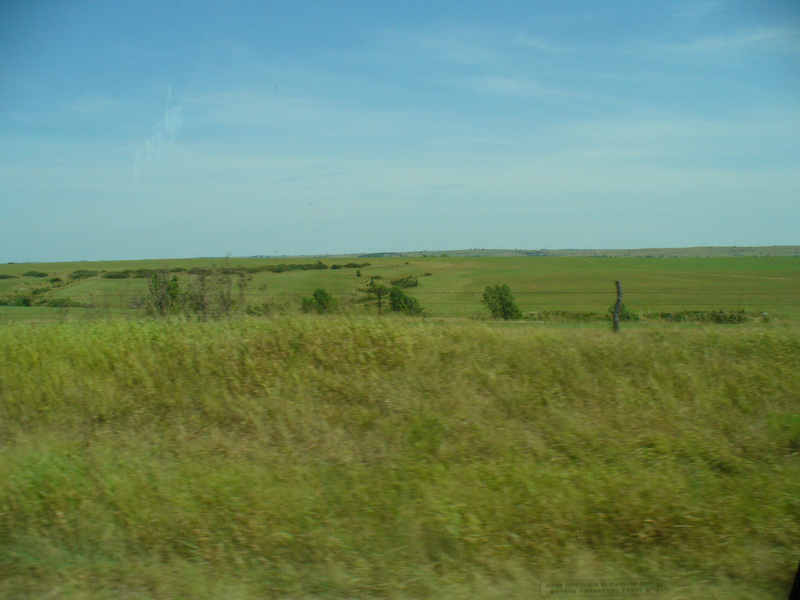
Mom didn’t trust the GPS anymore today and we found our way through Topeka and on up to Blue Rapids on our own. In Blue Rapids mom got on another dirt road and took us to Alcove Spring Park. By the time we crossed the Nebraska border, the runner that was so clean this morning was absolutely filthy. I should probably tell you now that mom likes getting out on dirt roads!
Mom didn’t trust the GPS anymore today and we found our way through Topeka and on up to Blue Rapids on our own. In Blue Rapids mom got on another dirt road and took us to Alcove Spring Park. By the time we crossed the Nebraska border, the runner that was so clean this morning was absolutely filthy. I should probably tell you now that mom likes getting out on dirt roads!
We next visited Homestead National Monument. It was over 100 degrees outside with the humidity more than 80%. We were suppose to camp out tonight, but mom and I whimped out and checked into a motel the the town of Fairbury, Nebraska. We were both really glad to get out of the heat!
Tuesday, August 10, 2010

We woke up early this morning and went out to Rock Creek Station. It was already warm before 8 a.m. Mom said she didn’t feel like hiking. I said “Well then what did we do all that walking for if we aren’t going to hike and explore things on this vacation? That’s just stupid!” Mom agreed with me and so we explored the station. It was interesting to imagine the travelers passing by the farm, crossing the toll bridge, and maybe even posting a letter at the Pony Express station.
Mom and the GPS got along better today. After leaving Rock Creek Station we followed the back roads that approximate the Old Oregon Trail route to Fort Kearney. Although most of the building are gone, Fort Kearney sits in a pretty park like setting and we enjoyed lunch there.
We then crossed I-80 and took highway 30 across Nebraska as it also closely approximates the Old Oregon Trail route. We stopped in Fothenburg and visited a Pony Express station that was really cool, and even mailed a couple of post cards that we actually put in a real Pony Express pouch.
By the time we reach North Platte, mom decided that we were far enough ahead of schedule that we had time to stop at Buffalo Bill’s Ranch which is now a state historic park. It was really neat and we had lots of fun looking around!
As we were getting in the Runner to leave, mom discovered that she had spilled her coffee all over the head of the bed. She wasn’t very happy about that and had several unrepeatable things to say about it.
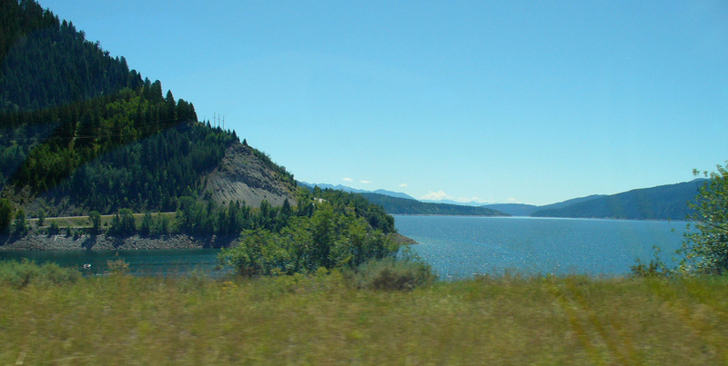
We had planned to spend the night camping at Lake McConaughy and this is where the real trouble happened. All the roads around the camping areas are sand. While we were driving around looking for a camp site, mom got too far off the road and got stuck in the sand. It scared both of us because there was no one near to help us and we didn’t know where we were to call and bring help to us. I was really proud of mom though; she didn’t lose her cool and just rocked the Runner forward and backward a bunch of times until she finally got us out. Once we were moving again mom didn’t want to stop until she was sure we were back on solid ground. She must have driven ½ a mile in reverse! That was weird!! But hey, at least she got us unstuck and kept us moving!
Mom was upset at getting stuck and decided not to spend the night at the lake, so we went on and visited Ash Hollow. We couldn’t camp there and it was still early so we continued on, looking for a campground or motel, but that didn’t go so well. Mom finally found a campground in Bridgeport about 11 p.m. and we slept there. We were both so tired that neither of us cared about the coffee on the bed.
Mom was upset at getting stuck and decided not to spend the night at the lake, so we went on and visited Ash Hollow. We couldn’t camp there and it was still early so we continued on, looking for a campground or motel, but that didn’t go so well. Mom finally found a campground in Bridgeport about 11 p.m. and we slept there. We were both so tired that neither of us cared about the coffee on the bed.
Wednesday, August 11, 2010
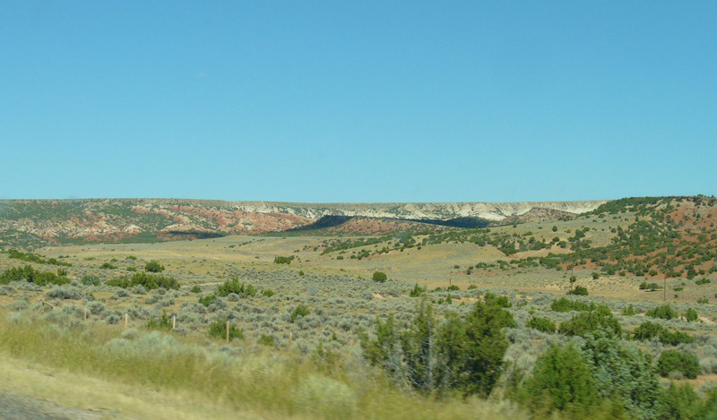
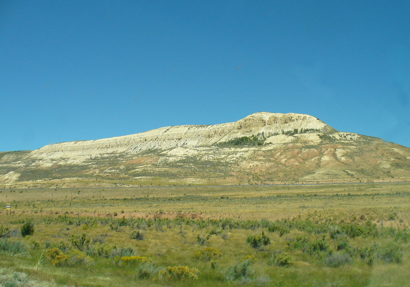
Mom was in a much better mood after getting some sleep (thank goodness). We woke up early so we decided to hit the road right away. She got a cup of coffee at a local service station and we headed out to Courthouse and Jail Rocks. They were incrediblely big and quite awesome to see as we approached the from a distance. The we went on to Chimney Rock and then to Scotts Bluff National Monument. We arrived before the visitor center opened and so we had breakfast while we waited. After going in the visitor center, mom drove to the top of the bluff and we had an incredible view of the Platte Valley. Wow! It seemed like we could see just about forever!
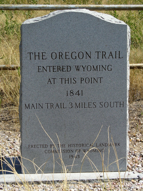
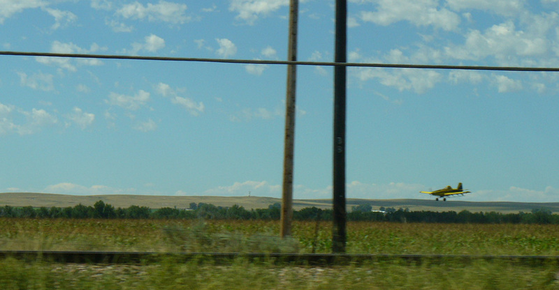
After exploring Scotts Bluff, we crossed into Wyoming and headed to Fort Laramie. Along the way we got to see a crop duster at work. It was a surprise to suddenly see an airplane rise up from a field right next to the road! It was neat to watch it make a big circle and then zoom quickly downward leveling off only a few feet above the crops!
When we reached Fort Laramie we discovered that it had many buildings and was much more interesting than Fort Kearney. We spent a couple of hours there before heading to Guernsey.
At Guernsey we visited Oregon Trail Ruts and Register Cliff National Landmarks. It was really amazing to see all the names carved on Register Cliff and we took some time, both there and at the Trail Ruts, to think about the people who braved that long journey and what life must have been like on the trail.
Yesterday was such a long day and with the stress of getting stuck, we were both tired today, so mom decided to stop early and we found a KOA in Douglas, WY to spend the night. Mom said she was anxious to get a good hot shower and personally, I was glad she felt that way because she was getting a little ripe (if you know what I mean)!
Thursday, August 12, 2010
Today we followed many of the landmarks used by the Old Oregon Trail travelers. Ayres Natural Bridge was a surprise. We were driving across the prairie and all of the sudden the road went down into a canyon where a river flowed, creating a beautiful oasis! Who would have guessed that such a lovely, restful place existed among the desolate prairie!
We stopped briefly in Casper and then continued on to Independence Rock, Devil’s Gate, Split Rock, Ice Slough, and South Pass.
We stopped briefly in Casper and then continued on to Independence Rock, Devil’s Gate, Split Rock, Ice Slough, and South Pass.
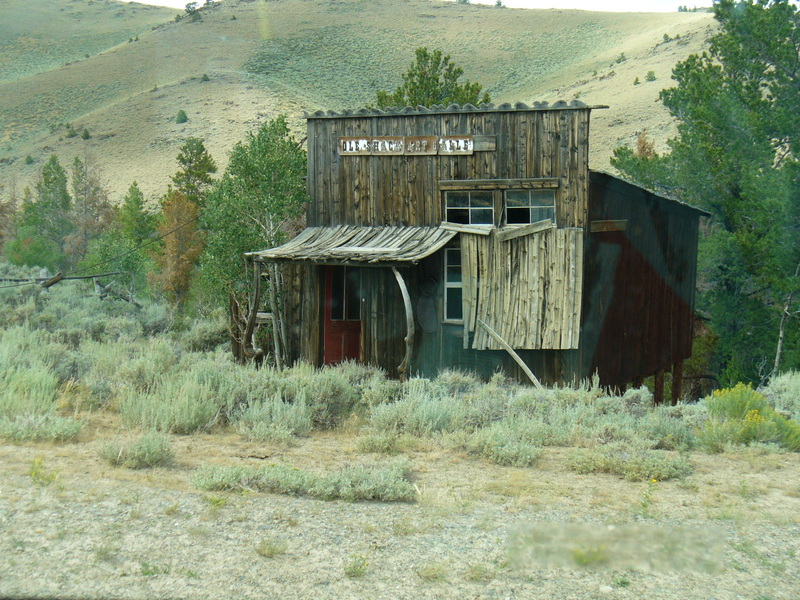
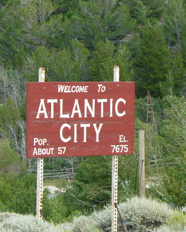
Before we reached South Pass, mom got off on another dirt road and took us through a little town called Atlantic City that was on the way to South Pass City. The roads weren’t well marked and mom got a little turned around once, but she did get us to South Pass City safely. What an interesting old town it was. We explored the town and buildings for several hours. The elevation was somewhere around 7,000 feet and it was about 60 degrees . . . it was wonderful to be cool! From there we went to Rock Springs and spent the night at a Motel 6.
Friday, August 13, 2010
We left Rock Springs early in the morning and went to Fort Bridger. It was even more interesting than Fort Laramie. It was almost like a park with all the trees and the stream running through the middle of the grounds.
When we left Fort Bridger, mom didn’t trust the GPS directions again and missed her turn to go to Fossil Butte National Monument. She found a place where she could make a quick U-turn and did so. Unfortunately, the small ice chest she had her lunch in tipped over and spilled ice water all over the bed. (Don’t even think about asking what she had to say about that!!) She stopped and used towels to soak up what she could and then put boxes and things under the blankets and sheets to help them dry out.
When we left Fort Bridger, mom didn’t trust the GPS directions again and missed her turn to go to Fossil Butte National Monument. She found a place where she could make a quick U-turn and did so. Unfortunately, the small ice chest she had her lunch in tipped over and spilled ice water all over the bed. (Don’t even think about asking what she had to say about that!!) She stopped and used towels to soak up what she could and then put boxes and things under the blankets and sheets to help them dry out.
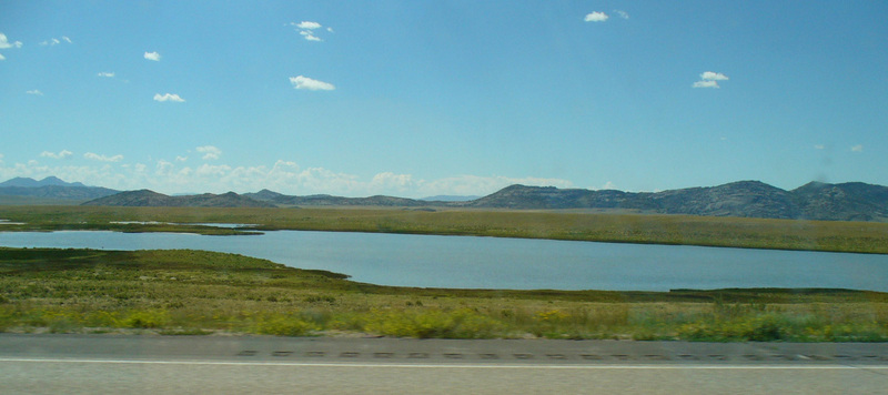
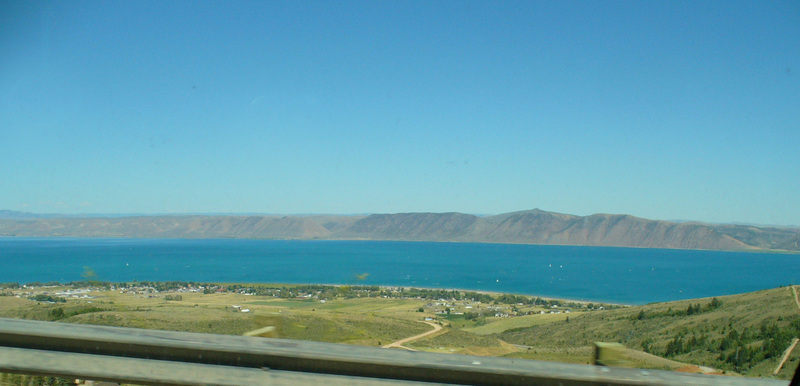
Fossil Butte was interesting but we didn’t do any hiking there. We moved on into Utah and the Bear Lake Valley. That was really something, coming around a corner and seeing the beautiful blue waters of that huge lake. It was literally breath-taking!

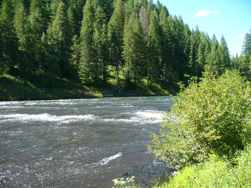
From the lake we headed into Logan Canyon and the scenic byway that passes through it. Mom had intended to spend the night at Tony Grove lake, but the campground was full so we continued on down the canyon to Bridger Campground and spent the night there instead. The campground was located on the banks of a stream and it was very pleasant to fall asleep to the sound of the flowing water.
Saturday, August 14, 2010
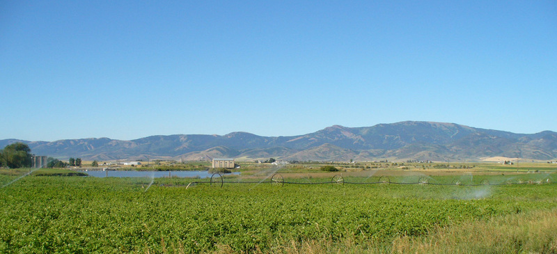
We left Logan Canyon this morning and headed North, crossing into Idaho to follow the Pioneer Historic Byway. This part of the country was mostly agricultural and had a beauty all its own. As we traveled, we saw several springs that the travelers of the Old Oregon Trail also saw. We stopped and visited some of them before moving along the trail.
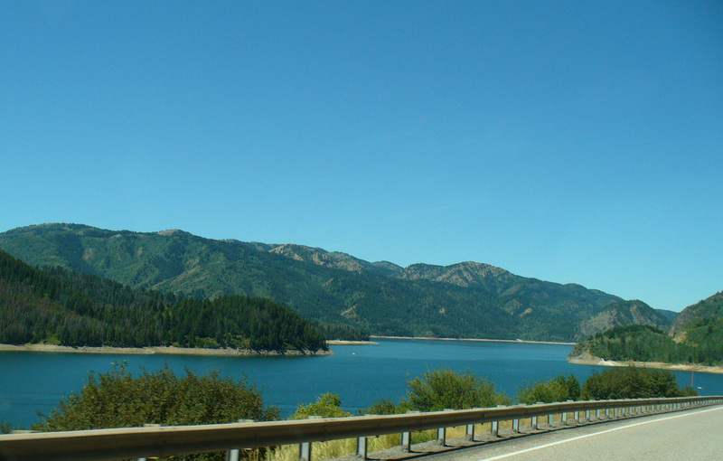
Just before we joined the Teton Scenic Byway we passed an area where the Snake River is widened into Palisade Resivour by the Palisade Dam. What an awesome and beautiful site that was!
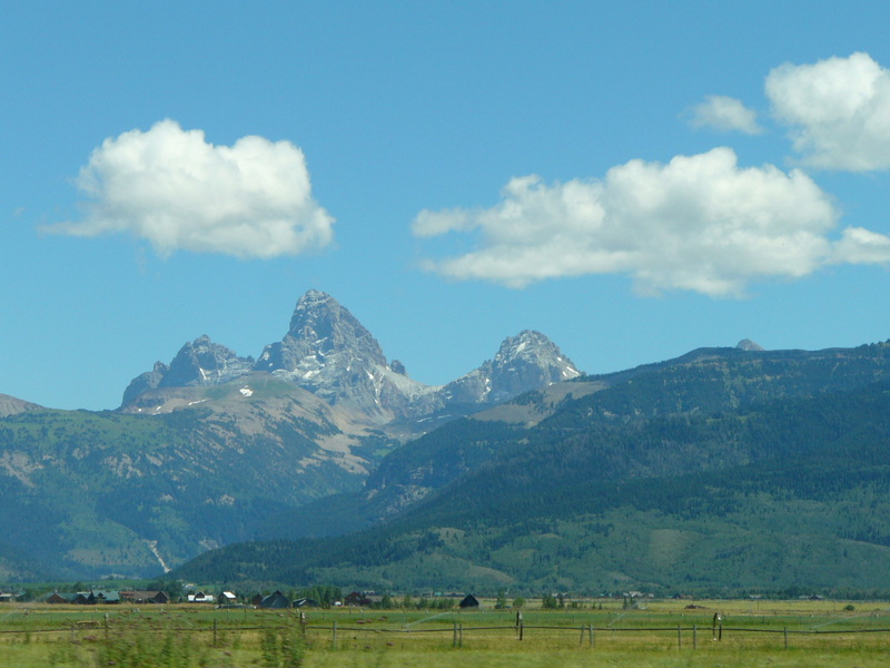
We then continued on up the Teton Scenic Byway, stopping several times to admire the Grand Tetons. This valley was also rich in agruiculture. We finally reached the Mesa Falls Scenic Byway and stopped to see both Upper and Lower falls. We walked around at Upper Falls and talked with a Ranger, completed a survey, and then went looking for a campground. We again spent a lovely night on the banks of a river.
Sunday, August 15, 2010
Today we traveled south to Idaho Falls and then turned West (except that mom missed her turn and we didn’t actually turn West until about 20 miles South of Idaho Falls. She wasn’t using the GPS today!)
We stopped at the EBR-1 site which is a decomissioned nuclear power plant. Mom was real excited to get to see it. She said she has always wanted to see inside one! It was very interesting!

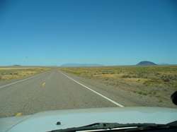
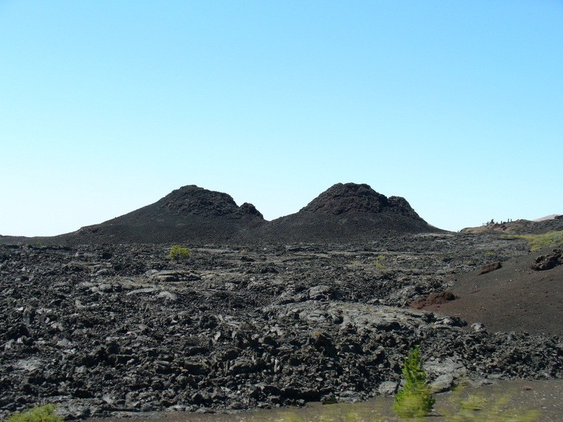
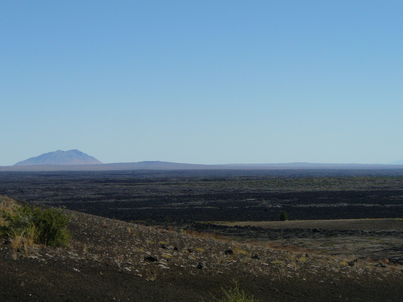
This part of Idaho is flat and desolate, but Craters of the Moon National Monument gave a very unusual change of scenery! Mom was disappointed in Craters of the Moon because most of the attractions, including the two that she especially wanted to see, were closed for rennovation. We did drive the 7 mile scenic loop and then continued on to Twin Falls where we stopped for the night and checked into a motel.
Mom got to go swimming and I had to stay in the room. I wasn’t happy about that. Mom washed her clothes and then went out to dinner. When she came back she said that she might have an idea about how those travelers of the Old Oregon Trail might have felt about finally reaching a town where they could get a cooked meal and a taste of civilization. Mom said “We’ve only been on the road a week, Cheeka, and yet that dinner out felt like a real special treat and tasted exceptionally good!” Well, I wouldn’t know, because , once again, I wasn’t invited to go and she didn’t even bring me back a doggie bag. How rude!


Week One


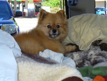
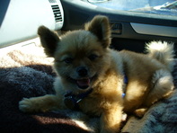
Photo courtsey of C. J.